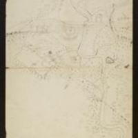
Map of positions of American troops on Salmon River and French Mills.
Dublin Core
Title
Map of positions of American troops on Salmon River and French Mills.
Subject
Military maps::French Mills (N.Y.)::Austin, Loring, 1790-1827
Description
Map of positions of American troops on Salmon River and French Mills.
Creator
Austin,Loring,1790-1827
Source
War of 1812 mss., 1776-1879--http://purl.dlib.indiana.edu/iudl/findingaids/lilly/InU-Li-VAC1213
Date
n.d.
Rights
This collection is open for research.
Format
Folio. Autographed map. 32 x 39 cm.
Language
eng
Type
Text
Identifier
http://purl.dlib.indiana.edu/iudl/lilly/VAC1213-02373
Coverage
French Mills (N.Y.)
Citation
Austin,Loring,1790-1827, “Map of positions of American troops on Salmon River and French Mills.,” The War of 1812 in the Collections of the Lilly Library, accessed May 17, 2024, https://collections.libraries.indiana.edu/warof1812/items/show/2353.


