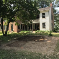
Bicentennial Summer 2018 Field School
Pre-Field School Preparations
Before the field school began, the Wylie House Museum and the Glenn A. Black Laboratory of Archaeology had to do a lot of preparation work. This preparation work included researching the history of gardening at the Wylie House, learning about subterranean greenhouses, getting permits and writing grants, and pulling together supplies and classwork. This field school was made possible by the IU Office of the Bicentennial. They also created a video about the project.
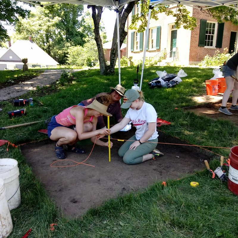
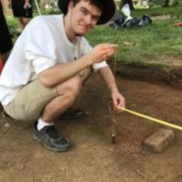
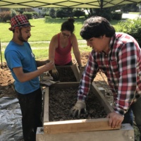
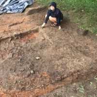
Field school student Hannah Ballard, graduate assistant Jorge Luis Rios Allier, and undergraduate assistant Maclaren Guthrie measure the depth of an excavation unit, June 2018.
Summer 2018 Field School
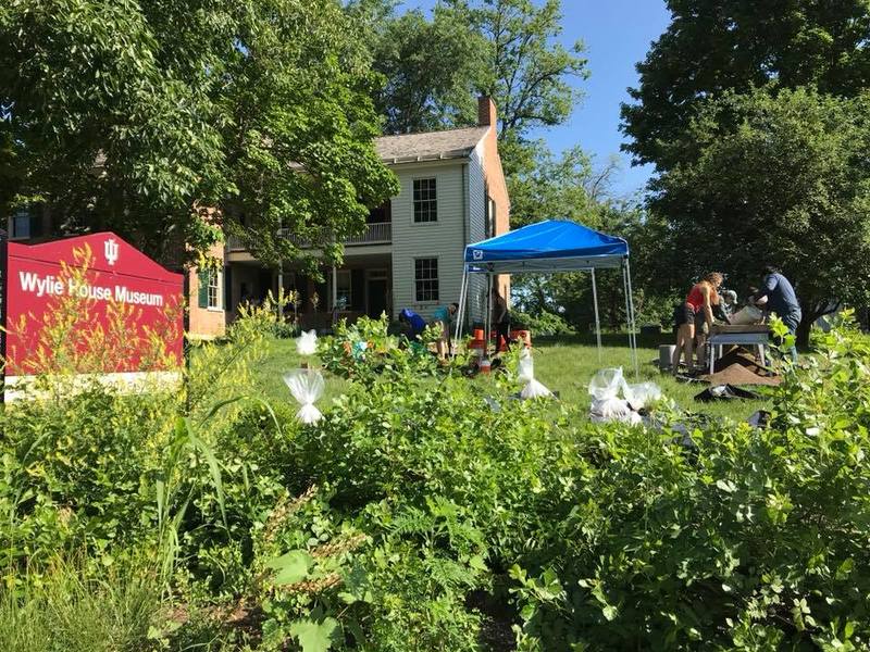
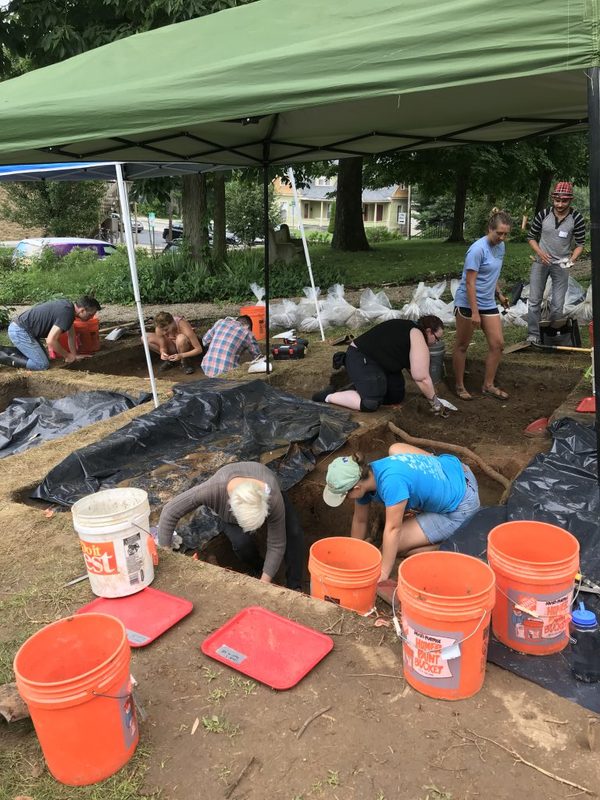
Starting in June 2018 through July 2018, the Wylie House Museum and Glenn A. Black Laboratory of Archaeology (GBL) operated a field school for IU students. The goals of this field school were to firstly find the subterranean greenhouse(s) of the Wylie family, but to also provide IU students with archaeological field experience, develop a further understanding of Wylie House and Indiana University, and to also verify museum records through artifact discovery and identification. There were 8 IU students, 1 undergraduate assistant, 2 graduate assistants, and a field director.
Excerpts from Field School Students' Blog Posts
-
6 June 2018 - Hannah B.
"The two units are coming along nicely: unit 1 is working hard at leveling their second level, and unit 2 finished the leveling of level one and did the plan map and Munsell Soil testing. The Munsell soil testing is done by comparing the soil of the unit to the color swatches provided in the Munsell Soil book. The book provides colors ranging from a reddish to a greenish soil color along with the more typical yellow, brown, and black ranges. Each page is labeled and a very common page for archaeological digs in the Midwest is ‘10YR’ which stands for yellow-red. Along with the color of the soil the texture of it is also tested. This is done by a touch test. The archaeologist feels a chunk of soil to determine if it has silt, sand, clay, or a combination in their unit. Unit 1 has a combination of silt and clay, and as unit 2 digs deeper their soil progresses into clay."
-
8 June 2018 - Joseph B.
"In unit 1, we scraped our way down through about 5-7 cm of soil, to the bottom of our third level of excavations. We leveled our unit out at this depth, and then took photographs of the soil surface. We [plan] mapped this surface by hand, using tape measures and a plumb line, taking special note of roots. Creating maps in this way will help us to determine whether changes in soil color and texture indicate potential features or are the remains of root systems or rodent runs."
-
12 June 2018 - Lauren S.
"Today, we embraced 21st century archaeology as we found diagnostic artifacts in one of the two new units we opened up directly to the west of our previously existing units. While screening the topsoil, Unit 4 found remnants of a Pizza X cup. This is a great example of a diagnostic artifact, or an artifact indicitave of a particular time. This cup is clearly modern given that it’s made of plastic and was found in the very top layer of soil. We know the Wylies weren’t eating Pizza X on their front lawn, but it seems as if someone else was!
As we start to excavate our two new units, we hope to find more artifacts appropriate to the time period and hear more stories from people in the community to give us a better understanding of our site!"
-
14 June 2018 - Scout L.
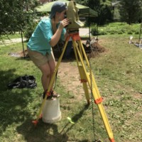
"Today in our field school, I learned how to do a profile, which includes a profile map of one of the unit’s walls. To begin that process we needed to level the wall so we could see the stratigraphy clearly. Once we made a perfectly straight and level wall, we had to set up our measurements and equipment so that we can measure each level correctly. The next step after that is to make a scaled map of each level of soil to represent the whole profile wall in the unit. I had a lot of fun pairing up with Molly and learning this step in the process. When we were done with the map, we officially finished our first profile wall in Unit 1! Even though this process may sound particularly simple, it takes a lot of attention to detail and willing to practice and be precise."
-
21 June 2018 - Elizabeth B.
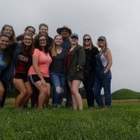
"... we all grouped together in parking lot of Angel Mounds waiting for another few minutes for it to open. As we waited, Liz gave us a nice in depth explanation about the site and its archaeological and historical background. She told us about how the mound you see off to the right when you turn in to the parking lot is called a Woodland mound and how it’s different from the other mounds at the Angel site, how Angel is connected to other sites such as Cahokia in Illinois, as well as the contemporary descendants of the peoples that lived at Angel.
...
By far the most amazing part about the trip was going outside and climbing to the top of Mound A. The view was absolutely beautiful! During our trek to the mound, we stopped along the way for more tidbits of information from Liz. In particular the idea that these mounds were perfectly aligned with specific phases of the moon was fascinating. Brenna joked that she can’t even find North on her own, so it’s impressive that they were so exact in their calculations. However, my favorite discussion point of the day was by far the future of Angel and the collaboration with descendants and the repatriation that is planned. You don’t often think about the multifaceted abilities of a place until you are presented with them head on and this was definitely the case here. This is especially true when you grow up and are told a place is one thing, like a historic site, but later learn it means so much more to others such as Angel’s descendants."
-
26 June 2018 - Tori G.
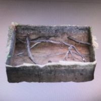
"Rainy days are still eventful at [Wylie] House, because they give us the opportunty to keep up with paperwork, wash artifacts, and process data. One thing I have been working on with data processing is creating photogrammetric models of the first unit I worked on, unit 2. These three-dimensional models are created by using software that stitches together multiple two-dimmensional images. It creates a model that can show soil color and stratigraphy, enable exact measurementsto be taken, and give us the ability to view a unit from angles that are not otherwise possible. Photogrammetry is a relatively new tool that is being used by archaeologists, and we use the technology on a daily basis in underwater archaeology. "
-
27 June 2018 - Maclaren G.
"Today I’m here to talk to you about something extremely exciting: we have finally identified the greenhouse! The feature (feature 1) we previously thought was the greenhouse ended up dissipating and was too small to match the dimensions of the pit that Theophilus Wylie III recalled in his memory map. We have now rediscovered the pit in our unit 3/unit 3 extension areas, where it does seem to mimick T.A.W. III’s remembered size of about 6 ft wide.
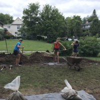
In addition to focusing our excavation efforts on this super interesting feature, we also backfilled two of our completed units this morning. Backfilling is a necessary part of archaeology, though it is a labor intensive and not super fun endeavor. Luckily, the Wylie House had a wheelbarrow we borrowed to move dirt more quickly. Unit 2 and unit 4 were both completely refilled with dirt as we got the information we needed from the soil and profiles, so they were no longer required since they weren’t part of our greenhouse feature."You can find the rest of the field school blog posts here: https://www.indiana.edu/~gbl/thedirt/wordpress/?tag=field-school
Public Involvement
In addition to allowing Indiana University students a chance to have a hands-on learning experience with campus archaeology, the Wylie House and the Glenn A. Black Laboratory of Archaeology enouraged the public to get involved as well. There were weekly volunteer sessions every Friday morning throughout the field school. To our delight, there was lots of interest! Each Friday the slots were full and sometimes we even had a few extra people show up.
During these volunteer days, volunteers were introduced to the Wylie House and got a presentation about campus archaeology prior to assisting the field school students with whatever they were doing that day. They got the opportunity to learn how to use a trowel, shovel scrape, screen soil, and how to wash artifacts. Throughout all of these tasks, field school students were partnered up with them so they had an opportunity to teach what they've learned to someone else.
Other public involvement included the excavation site always being open to the public even when it was not a volunteer morning. This meant that anyone who wanted to visit or walking by could walk up and start asking questions, visit the physical exhibit inside the musuem, and go through the house to get an on the spot taste for what the field school was up to and why.


